Map Builder
Turn maps into engagement tools.
Go beyond static geography by adding interactivity, detail and feedback so your community can explore what matters most.
Turn maps into engagement tools.
Go beyond static geography by adding interactivity, detail and feedback so your community can explore what matters most.

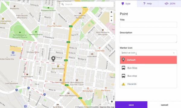
Map Builder is Civio’s cartographic tool, enabling you to create interactive maps that help explain spatial information. It gives you the ability to combine different data layers, boundaries and points of interest to build rich geographic visualisations.
With Civio Map Builder, you can create compelling maps that help your community understand the geographic context of projects, plans and issues, providing essential spatial information that supports more informed participation.
A city planning department can create layered maps showing zoning, current land use, and proposed development areas, helping residents understand the context of planning decisions and how new proposals relate to existing neighbourhood patterns.

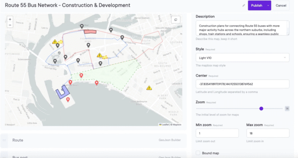
A transit authority can build interactive maps displaying current routes, proposed changes, and key destinations, enabling riders to visualize how service modifications will affect their travel options and community connectivity.

A conservation organisation can develop maps showing protected areas, habitat types, and restoration projects, helping community members understand the ecological context of environmental initiatives and their spatial relationships.

A health department can create maps displaying health service locations, demographic information, and health outcome data, supporting community discussions about service gaps and resource allocation priorities.

A water management agency can build maps showing infrastructure systems, service areas, and planned upgrades, helping customers understand the geographic context of service changes and construction impacts.

Explore our plans and request pricing. We’ll send you a clear proposal, no sales calls, just the details you need.